In our Lake and Coastal Maps, we apply the same thorough approach to hiking trails as we do in our topographic maps, but the map coverage is tailored to archipelagos and major water systems. We also aim to include information especially relevant to paddlers – such as shallow areas and shipping lanes, archipelago ferry routes, and useful services like grocery stores, dry toilets, saunas, canoe portages, fresh water sources, and campsites along popular paddling routes.
Maps from the Nordic region’s leading outdoor publisher – specialists in outdoor maps.
Calazo Publishing is the obvious choice when you’re looking for high-quality maps of Sweden and the Nordic countries. We are experts in topographic maps, hiking maps, road maps, and mountain maps.
Our maps are printed on Tyvek, a durable and completely waterproof material that withstands wind, moisture, and field use. We continuously update trails and routes on all our maps. Whether you are planning a day trip, a weekend hike, or a multi-week adventure in the Swedish mountains – from coast to inland – you’ll find the right map at Calazo.
Our outdoor maps and mountain maps offer such a level of detail that you can navigate with confidence, and materials that withstand weather and wind.

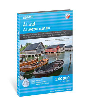 Åland Ahvenanmaa 1:60 000 €29,90 /
 Turku Houtskari Brändö €23,90 /
 Helsingin saaristo 1:50 000 €19,90 /
 Nötö Kasnäs Utö €23,90 /
 Hanko Hiittinen Tammisaari €23,90 /
 Kolovesi & Joutenvesi 1:25 000 €19,90 /
 Kustavi Naantali Uusikaupunki €23,90 /
 Kotka Loviisa Virolahti €23,90 /
 Rauma Pori Pyhäranta €23,90 /

 Parainen Salo Kemiönsaari €23,90 /


