
Alpine maps
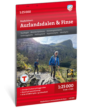
Our Alpine maps offer a level of detail never before seen for any mountain area in Norway. The terrain information in the maps is based on data from airborne laser scanning. For the first time, cliffs, large boulders, forests, and waterways are depicted with an accuracy that truly reflects reality. Ideal for those going on ski mountaineering trips, glacier hikes, or exploring new routes at higher elevations.
- New
- New
 Høyfjellskart Ulvik 1:30 000 €22,90 /
  Høyfjellskart Okstindan 1:25 000 €22,90 /
 Høyfjellskart Sulitjelma 1:25 000 €22,90 /
 Høyfjellskart Høgruta 1:25 000 €22,90 /


 Høyfjellskart Jostedalen 1:25 000 €22,90 /
 Høyfjellskart Jølster 1:25 000 €22,90 /


 Høyfjellskart Hemsedal 1:25 000 €22,90 /

 Høyfjellskart Hornindal 1:25 000 €22,90 /


Maps from the Nordic region’s leading outdoor publisher – specialists in outdoor maps
Calazo Publishing is the obvious choice when you’re looking for high-quality maps of Sweden and the Nordic countries. We are experts in topographic maps, hiking maps, road maps, and mountain maps.
Our maps are printed on Tyvek, a durable and completely waterproof material that withstands wind, moisture, and field use. We continuously update trails and routes on all our maps. Whether you are planning a day trip, a weekend hike, or a multi-week adventure in the Swedish mountains – from coast to inland – you’ll find the right map at Calazo.
Our outdoor maps and mountain maps offer such a level of detail that you can navigate with confidence, and materials that withstand weather and wind.
