
Hiking maps 1:50 000
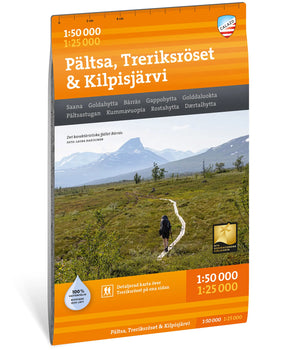
Mountain maps at a scale of 1:50,000 are today considered the gold standard for mountain hikers and ski touring in the Nordic countries. The scale means that 1 cm on the map corresponds to 500 meters in the terrain, which provides a good combination of overview and detail.
Calazo's cartographers have processed data from laser scanning, analyzed aerial photographs and satellite images and, among other things, corrected the layout of all paths and trails throughout the northern mountain range.
- New


 Grövelsjön & Rogen 1:50 000 €19,90 /


 Sareks nationalpark 1:50 000 €19,90 /
 Padjelantaleden 1:50 000 €19,90 /
 Sälen & Fulufjället 1:50 000 €19,90 /


 Idre & Lofsdalen 1:50 000 €19,90 /

 Årefjällen Storlien 1:50 000 €19,90 /


 Tärnaby & Södra Storfjället 1:50 000 €19,90 /


Maps from the Nordic region’s leading outdoor publisher – specialists in outdoor maps.
Calazo Publishing is the obvious choice when you’re looking for high-quality maps of Sweden and the Nordic countries. We are experts in topographic maps, hiking maps, road maps, and mountain maps.
Our maps are printed on Tyvek, a durable and completely waterproof material that withstands wind, moisture, and field use. We continuously update trails and routes on all our maps. Whether you are planning a day trip, a weekend hike, or a multi-week adventure in the Swedish mountains – from coast to inland – you’ll find the right map at Calazo.
Our outdoor maps and mountain maps offer such a level of detail that you can navigate with confidence, and materials that withstand weather and wind.
