Calazo's high alpine maps are designed for summit tours, glacier hikes and similar activities in alpine terrain. A map at a scale of 1:25,000 covers a smaller geographical area than a map at a scale of 1:50,000, but at the same time shows significantly more detail. The terrain information is based on data from airborne laser scanning, which makes it possible to reproduce details such as steep slopes, larger rocks, forests and watercourses with very high precision. The maps are available in scales from 1:15,000 to 1:25,000 and cover selected areas in the Swedish mountains. The current extent of the glaciers has been developed in collaboration with the Department of Physical Geography at Stockholm University.
Maps from the Nordic region’s leading outdoor publisher – specialists in outdoor maps
Calazo Publishing is the obvious choice when you’re looking for high-quality maps of Sweden and the Nordic countries. We are experts in topographic maps, hiking maps, road maps, and mountain maps.
Our maps are printed on Tyvek, a durable and completely waterproof material that withstands wind, moisture, and field use. We continuously update trails and routes on all our maps. Whether you are planning a day trip, a weekend hike, or a multi-week adventure in the Swedish mountains – from coast to inland – you’ll find the right map at Calazo.
Our outdoor maps and mountain maps offer such a level of detail that you can navigate with confidence, and materials that withstand weather and wind.

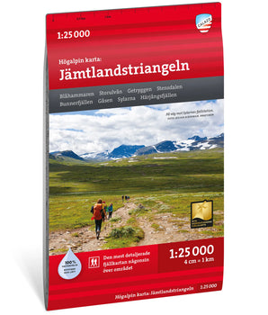 Jämtlandstriangeln 1:25 000 €19,90 /

 Högalpin karta Kebnekaise 1:15 000 €19,90 /
 Högalpin karta Hemavan 1:25 000 €19,90 /

 Sälenfjällen 1:25 000 €19,90 /
 Funäsfjällen 1:25 000 €19,90 /


 Högalpin karta Sylarna 1:20 000 €19,90 /


