
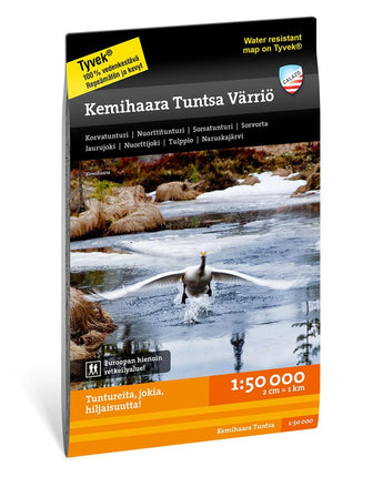


Kemihaara Tuntsa Värriö 1:50 000
€19,90
/
✓
Ship within 24h
South of Koilliskaira lies a vast wilderness area shaped by mountain ridges, aapa mires and numerous small streams that eventually flow into the Kemijoki River. The landscape features accessible pine forests and fells, and the popular UKK hiking trail crosses the area. The region also shows clear signs of natural forces, including Finland’s largest forest fire area and storm damage in the Jaurujoki valley.
Our maps are printed on Tyvek® – a waterproof and tear-resistant material designed for demanding use. The manufacturer guarantees that the material withstands 20,000 folds. Thanks to a clever sheet layout, the area’s most important destinations fit on a single map.
Our maps are printed on Tyvek® – a waterproof and tear-resistant material designed for demanding use. The manufacturer guarantees that the material withstands 20,000 folds. Thanks to a clever sheet layout, the area’s most important destinations fit on a single map.
About: Kemihaara Tuntsa Värriö 1:50 000
| Category | |
|---|---|
| Scale | |
| Last revised | |
| Size map sheet | |
| Material | |
| ISBN | |
| Locations |
About Tyvek
What is the material of the maps?
Calazo maps are printed on Tyvek, a lightweight, durable and water-resistant material that combines the feel of paper with superior durability. Tyvek can withstand repeated folding, rain and wear without fading colors or damaging the map, making it ideal for outdoor adventures in all weathers.
Shipping & Delivery
- Free shipping on purchases over 99 Euro
- Order before 12 noon on weekdays → shipped the same day
- Questions? info@calazo.se
Map scale
- 1:100 000 gives a better overview of larger areas.
- 1:50 000 is suitable for hiking.
- 1:25 000 is used for detailed orientation, for example when following paths, mountain terrain or smaller trails.
Others also bought
New

Stockholm Archipelago Trail
€19,90
/


Grövelsjön & Rogen 1:50 000
€19,90
/


